For Researchers
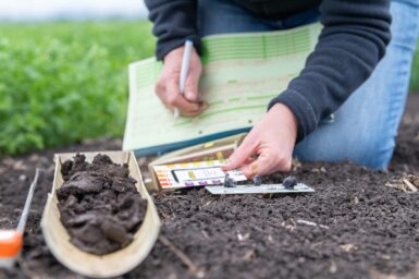
Our soil
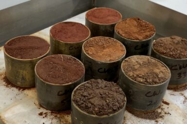
Soil is one of our most valuable natural resource assets. It plays a crucial role in supporting agricultural industries. Soil also supports our biodiversity and environment, our infrastructure, our heritage, and the way we live.
The National Soil Strategy
The National Soil Strategy sets out how Australia will value, manage and improve its soil for the next 20 years. The Australian National Soil Information System (ANSIS) is supported by funding through the Australian Government National Soil Strategy (Department of Agriculture, Fisheries and Forestry) in collaboration with CSIRO and partner organisations.
ANSIS vision
The Australian National Soil Information System (ANSIS) will provide improved access to soil data and information to help sustainably manage our soil.
What ANSIS can do for you
ANSIS will improve online access and use of shared, nationally consistent soil data and information. It will federate soil data from systems across Australia, connecting multiple data sources, including those from governments, research and natural resource management organisations, industry, farmers, and the community. ANSIS will make soil data and information available via a web portal.
ANSIS will be the new trusted system to find nationally consistent, standardised, easy to use, and accessible soil data and information. ANSIS will provide access to standardised data and information on a range of soil properties relevant to research priorities including:
- Agricultural productivity and demonstrating best practice
- Food security
- Clean and secure water resources and marine management
- Climate change adaptation, mitigation and resilience to shocks
- Carbon sequestration: current and potential
- Biodiversity, ecosystem functions and sustainably managing the environment.
ANSIS will have tools and applications that enable efficient discovery, visualisation, and access and use of soil data and information products. Direct access to available soil data will enable researchers to easily connect to the latest data in their preferred GIS and modelling applications.