Standards
The use of standards in communicating soil information ensures that:
- Data are of sufficient quality
- Data are expressed clearly in a form that users and providers can work with.
ANSIS builds on a substantial history of standards developed within the Australian soils community over many decades, in particular the handbooks prepared by the National Committee on Soil and Terrain and related bodies, and issued by CSIRO Publishing.
The handbooks provide lists of terms with definitions in the context of various soil observation activities. ANSIS has adapted, and in some cases updated, these standards into forms suitable for data exchange. These build on some previous implementations, such as the CSIRO National Soil Site Database, however, the ANSIS implementation adopts new information management techniques available for web deployment.
In the initial phase, the handbook terminologies have been provided as online resources – each term has a unique web-address. Click on the below links to explore the standards.
Describing soil and sites out in the field
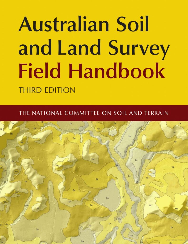
The Australian Soil and Land Survey Field Handbook specifies methods and terminology for soil and land surveys. It has been widely used throughout Australia, providing one reference set of definitions for the characterisation of landform, vegetation, land surface, soil and substrate.
The book advocates that a comprehensive suite of land and soil attributes be recorded in a uniform manner. This approach is more useful than the allocation of land or soil to preconceived types or classes.
The third edition includes revised chapters on location and vegetation as well as some new landform elements.

Describing laboratory and field chemical tests
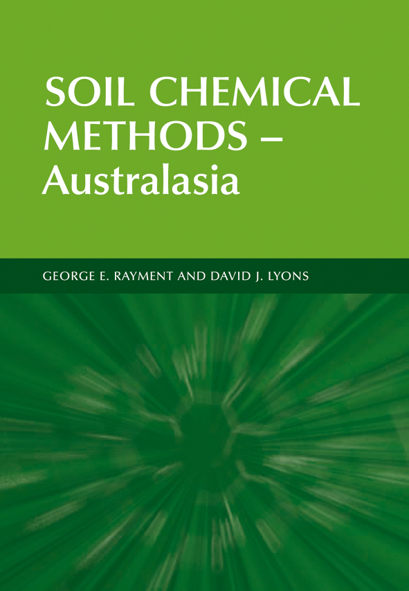
Soil Chemical Methods – Australasia describes over 200 laboratory and field chemical tests relevant to Australasia and beyond. The information and methodology provided across 20 chapters is comprehensive, systematic, uniquely coded, up-to-date and designed to promote chemical measurement quality.
There is guidance on the choice and application of analytical methods from soil sampling through to the reporting of results. In many cases, optional analytical ‘finishes’ are provided, such as flow-injection analysis, electro-chemistry, multiple flame technologies, and alternatives to chemical testing offered by near-range and mid-range infrared diffuse reflectance spectroscopy.

Describing soil physical measurements
Soil physical measurements are essential for solving many natural resource management problems. This operational laboratory and field handbook provides, for the first time, a standard set of methods that are cost-effective and well suited to land resource survey. It provides:
- Practical guidelines on the soil physical measurements across a range of soils, climates and land uses
- Straightforward descriptions for each method (including common pitfalls) that can be applied by people with a rudimentary knowledge of soil physics
- Guidelines on the interpretation of results and integration with land resource assessment.

Classifying soils
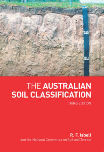
The Australian Soil Classification provides a framework for organising knowledge about Australian soils by allocating soils to classes via a key. Since its publication in 1996, this book has been widely adopted and formally endorsed as the official national system. It has provided a means of communication among scientists and land managers and has proven to be of particular value in land resource survey and research programs, environmental studies and education.
This third edition includes accommodates new knowledge and understanding of the significance, nature, distribution and refined testing for soils comprising deep sands, leading to the inclusion of a new Order, the Arenosols.

