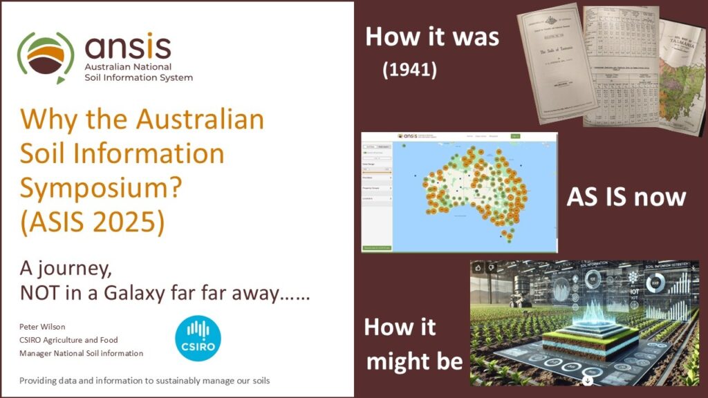
Australian Soil Information Symposium 2025
The Australian Soil Information Symposium (ASIS) 2025 brought together experts to discuss advances in soil science, data integration, policy, and sustainable land management.
Over 280 people attended ASIS, which was held on 12 March 2025 in Canberra. The event was hosted by CSIRO and the Australian Government Department of Agriculture, Forestry and Fisheries. ASIS supported the National Soil Strategy and the Australian Soil Information System (ANSIS).
ASIS covers multiple sessions with speakers from government, research, and indigenous communities, focusing on soil information systems, policy, agriculture, environment, and research.
ASIS highlighted the importance of soil health for agriculture, environment, and cultural heritage, emphasising collaboration, data accessibility, and indigenous knowledge integration.
Event summary
ASIS presentations are summarised below and are available by clicking on the presentation images.
Opening and vision
Peter Wilson (CSIRO) welcomed over 280 participants, acknowledging sponsors and the Ngunnawal people. He emphasised soil science’s vital role in sustaining arable land and feeding the population. He advocated prioritising real soil data over artificial intelligence, warning against poor data quality leading to inaccurate outcomes. He envisioned future soil information systems shaped by technology and data analytics, urging collaboration to align soil data components nationally for long-term benefits and applied decision support.
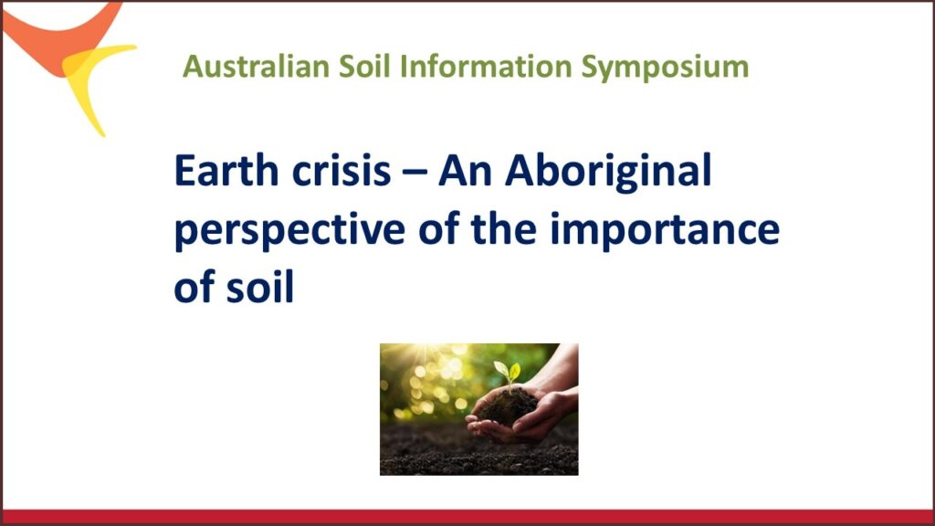
Cultural perspectives
Professor Paul Callaghan, a Worimi man, shared insights from Aboriginal culture, emphasising the values of love, respect, humility, and sharing (“the Lore”) as foundational for soil and environmental stewardship. He highlighted the importance of connection to country, responsibilities over rights, and the sacredness of soil as an ancestral and spiritual entity. He encouraged attendees to become ambassadors for soil, using storytelling to influence policy and foster unity in diversity. He discussed soil’s four contexts: physical, economic, metaphorical, and spiritual, underscoring sustainable land management and cultural governance. The session concluded with calls to integrate Aboriginal knowledge, promote positive narratives, and foster relationships with land and communities.
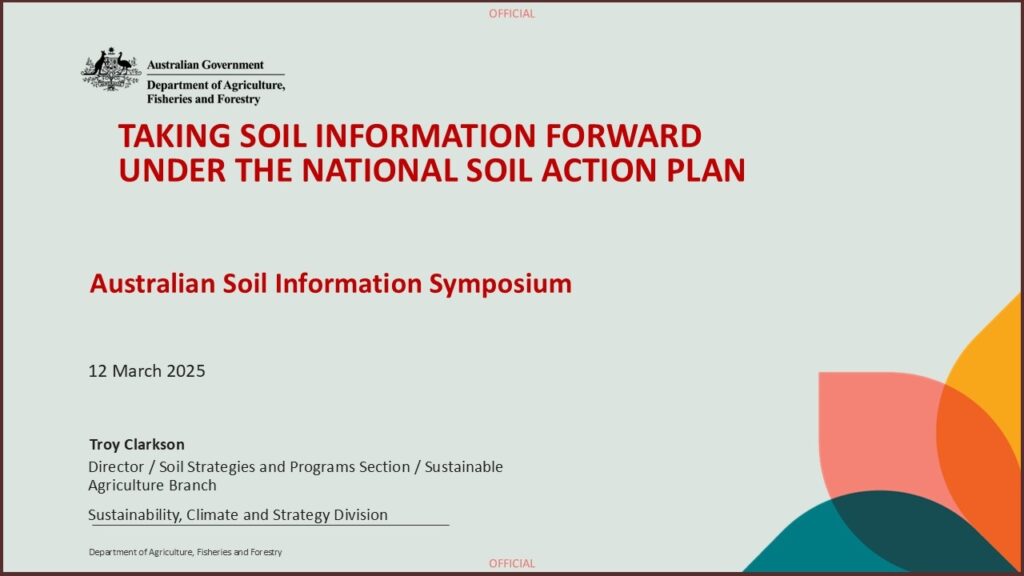
The National Soil Strategy
Troy Clarkson (Commonwealth Department of Agriculture, Fisheries and Forestry) presented the National Soil Strategy launched in 2021, outlining priorities in soil measurement, strategy integration, adoption of best practices, and capacity building. He described efforts to digitise and harmonise soil data via the Australian National Soil Information System (ANSIS) and the National Soil Monitoring Program with 3,000 monitoring sites. Emphasis was placed on building a data-sharing culture and using data effectively for policy and decision-making, exemplified by soil carbon sequestration maps.
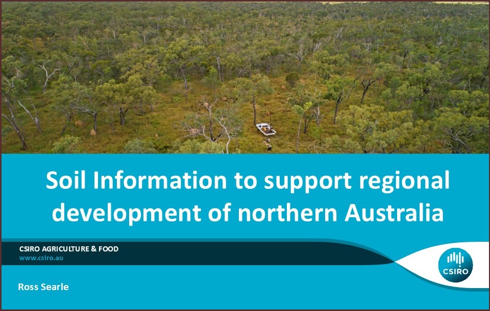
Large-scale assessment
Ross Searle (CSIRO) discussed a large research project in Northern Australia involving over 200 scientists that assessed land suitability for agriculture by considering multiple aspects, including soil and water resources, ecology, indigenous aspirations, and socio-economics. The project combined existing and new soil data, digital soil mapping, and expert knowledge to create soil attribute maps and land suitability assessments for multiple crops. It highlighted the importance of reliability estimates, field validation, and data visualisation tools to inform water resource planning and policy.
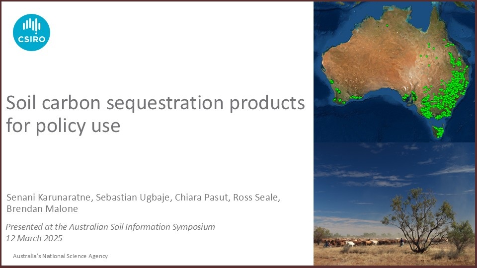
Soil organic carbon research
Senani Karunaratne (CSIRO) focused on soil organic carbon’s role in climate mitigation and soil health. He explained carbon fractionation into particulate, humus, and resistant forms, their stability, and vulnerability mapping. He introduced the FullCAM model for greenhouse gas inventories and proposed frameworks for attainable soil carbon storage based on soil properties. He discussed how machine learning has been used to map soil carbon stocks and sequestration rates, providing policy-relevant insights for optimising production systems.
Soil information to support research
Larelle McMillan (CSIRO) highlighted the foundational role of soil in ecosystems and threats to soil, such as erosion and acidification. She described national and international initiatives like the National Soil Monitoring Plan and the Pacific Soil Partnership, emphasising collaboration, standardised methodologies, climate resilience, and integration with sustainability frameworks.
Use of data for soil research
Michael Crawford, (Soil Cooperative Research Centre (CRC)), addressed challenges in soil data governance and management across diverse organisations. He described the transformation from data to wisdom and stressed soil health’s public benefits. He emphasised prevention over remediation of soil degradation and the need for credible soil metrics to support sustainability frameworks and financial sector engagement. He advocated for FAIR data principles, collaboration, and capacity building.
Soil Monitoring Infrastructure
Luke Finn (Terrestrial Ecosystem Research Network (TERN)) presented TERN’s multi-scale soil monitoring infrastructure, including the Soil and Landscape Grid of Australia and Soil Data Federator, which integrates disparate datasets. He described long-term ecosystem surveillance and applications in soil modelling, fire impact studies, and microbial diversity research. Recommendations included enhancing data integration, supporting monitoring programs, and collaborating with industry.
Soil Information Systems
Darren Kidd (Department of Natural Resources and Environment Tasmania) described soil data systems across state governments, private sector, and research, highlighting data types, usage, and delivery methods. He noted the potential for private sector data integration into ANSIS, subject to privacy. Mapping products include enterprise suitability maps and special projects like organic soil and flammability mapping. Priorities include standards development, data integration, rapid data delivery, and legal aspects of data sharing.
NSW Soil Monitoring Infrastructure
Humphrey Milford (New South Wales (NSW) Department of Climate Change, Energy, the Environment and Water) detailed NSW’s soil data systems, including data collection tools (EDIRT), corporate databases (SALIS), spatial viewers (eSPADE), and mobile apps (Soils Near Me). NSW soils data is openly accessible under Creative Commons licensing, with plans to enhance mobile data collection, cloud migration, and stakeholder engagement.
Queensland’s soil data infrastructure
Evan Thomas (Queensland Department of the Environment, Tourism, Science and Innovation) presented Queensland’s soil data infrastructure, including the Sally Oracle database, multiple data tools, and the Queensland Globe interactive map. He demonstrated a land suitability assessment tool for reef catchments, harmonising frameworks and providing environmental risk reports. Expansion plans include statewide tools and integration with national datasets.
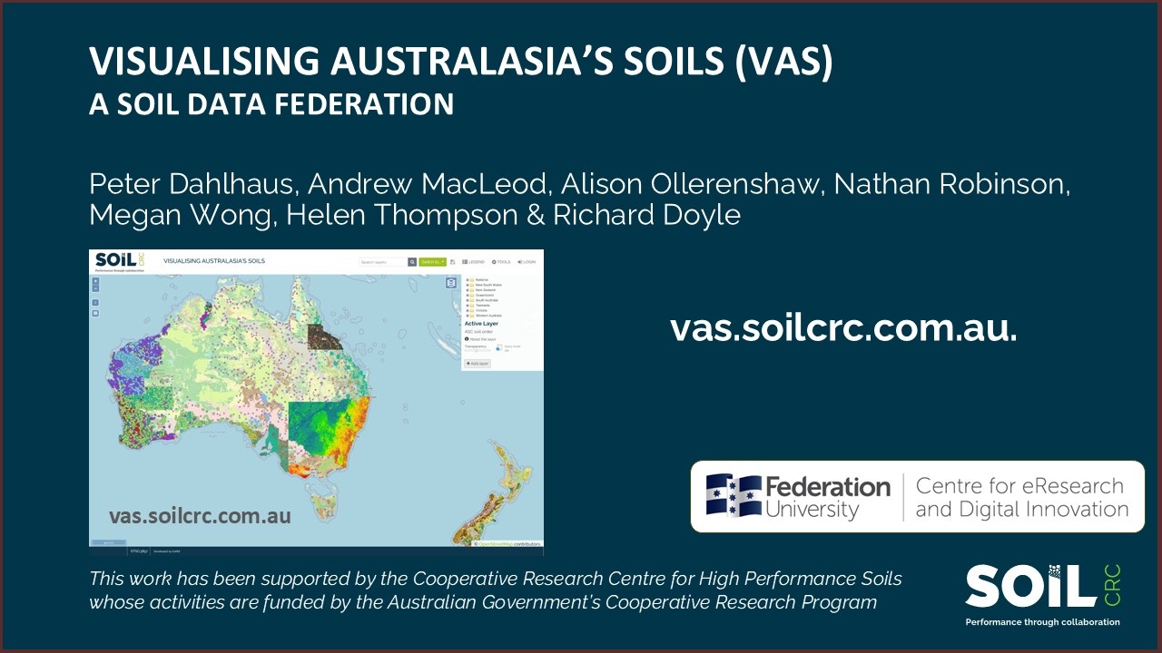
Visualising Australia’s Soils project
Peter Dahlhaus (Federation University Centre for eResearch and Digital Innovation (CeRDI)) discussed the Visualising Australia’s Soils (VAS) project, aggregating over 600 million soil moisture observations and diverse datasets. The project supports FAIR data principles, offers user-friendly filtering and visualisation, and includes tools like the rainfields tool for rainfall data. Future plans involve expanding data integration and interface improvements.
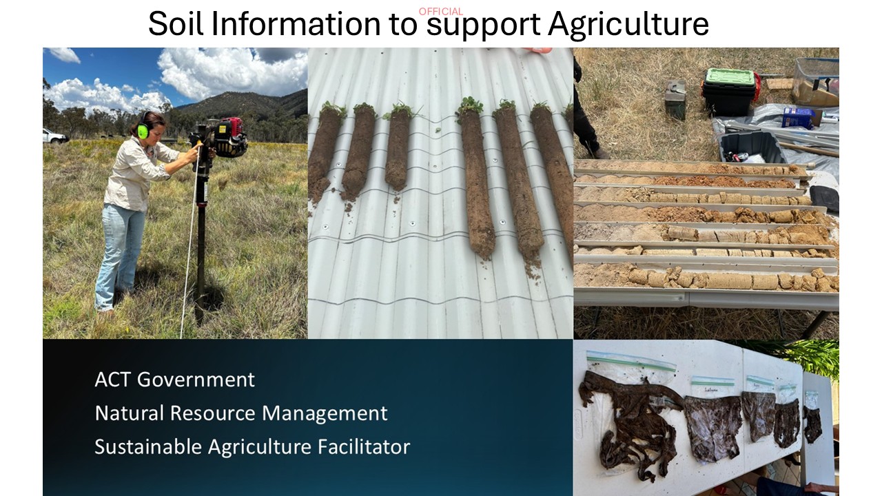
Soil information to support agriculture
Jeni Cumberland (Australian Capital Territory (ACT) Natural Resource Management (NRM)) described soil conditions and farming in the ACT, noting challenges with acidic, shallow soils and the shift toward regenerative practices. She emphasised collaboration with stakeholders, comprehensive soil testing beyond surface layers, capacity building in grassroots organisations, attracting youth to soil science, and improving data accessibility for farmers.
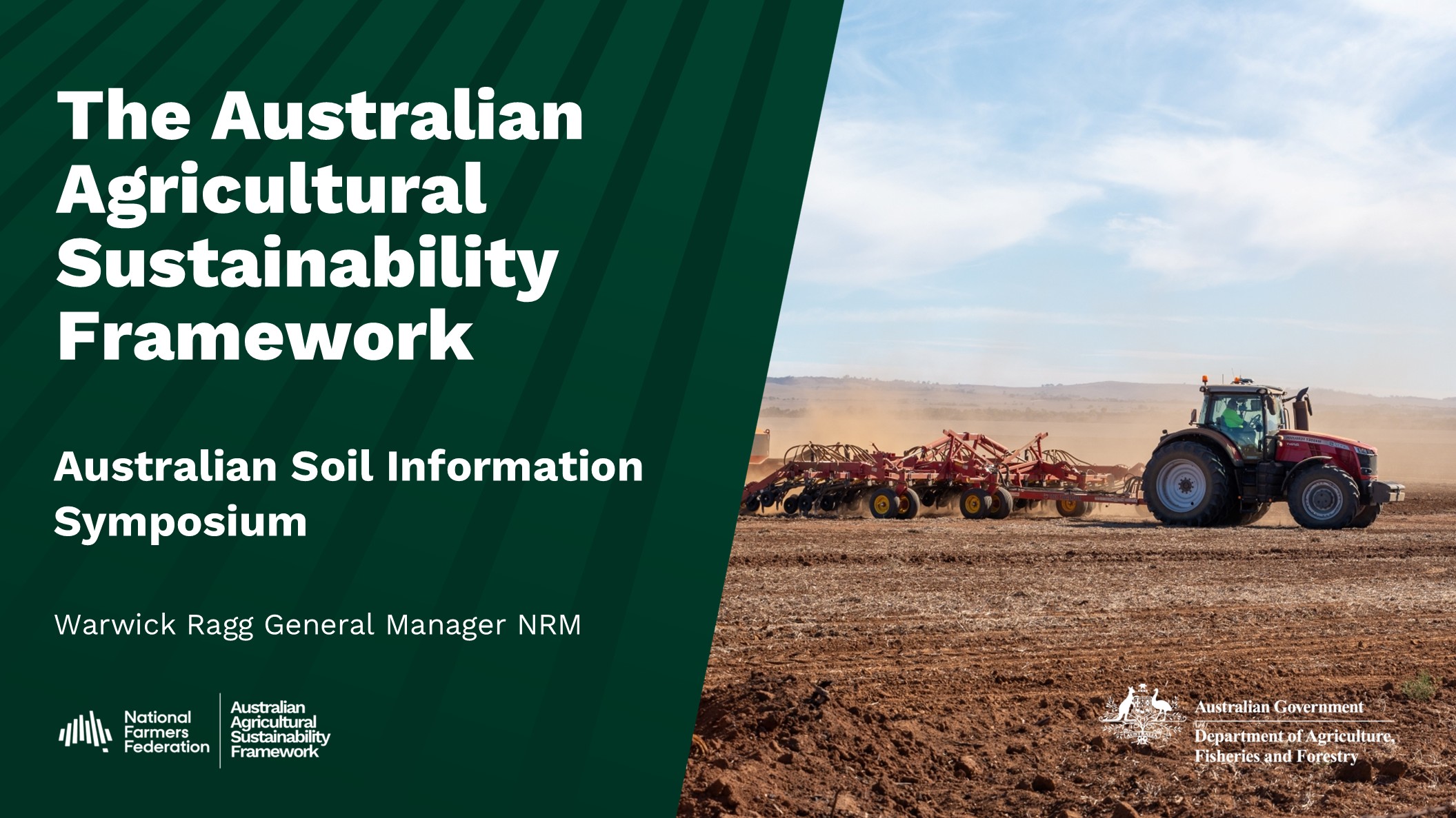
Australian Agricultural Sustainability Framework
Warwick Ragg (National Farmers’ Federation (NFF)) outlined the Australian Agricultural Sustainability Framework (AASF), addressing sustainability challenges and environmental, social and governance demands. The framework includes 17 principles and 43 criteria, with soil health identified as highly material. He highlighted the need for a cohesive data ecosystem, governance mechanisms, high-quality data, and stakeholder collaboration to support sustainability measures.
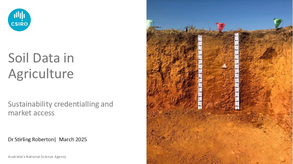
Soil data’s role in agriculture
Stirling Robertson (CSIRO) emphasised soil data’s role in agriculture, sustainability credentialing, and benchmarking. He discussed challenges with global and national benchmarks, advocating for regionally specific metrics and long-term monitoring. ANSIS’s work in federating datasets for soil organic carbon, pH, and electrical conductivity was presented, along with tools for benchmarking soil health at farm levels.
Australian Agricultural Sustainability Framework
Warwick Ragg (National Farmers’ Federation (NFF)) outlined the Australian Agricultural Sustainability Framework (AASF), addressing sustainability challenges and environmental, social and governance demands. The framework includes 17 principles and 43 criteria, with soil health identified as highly material. He highlighted the need for a cohesive data ecosystem, governance mechanisms, high-quality data, and stakeholder collaboration to support sustainability measures.
Natural Resource Management and Biodiversity: Chris Norman and Barney Swan highlighted the role of regional NRM organisations in soil and ecosystem health, regenerative agriculture, and community engagement, while Jake Robinson presented ecoacoustics as a novel method to monitor soil biodiversity and health.
Discussion and Capacity Building: The final session addressed challenges in data integration, metadata management, private sector data inclusion, trust building, workforce capacity, and the promotion of soil data tools like ANSIS to land managers, emphasising collaboration and long-term investment in soil science.
You can watch the full event here: Click here