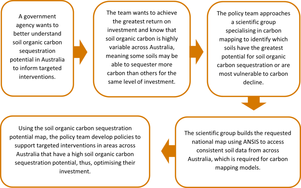
ANSIS use case: National map of soil organic carbon sequestration potential
Use cases are examples that show the potential benefits of the Australian National Soil Information System (ANSIS) by practically demonstrating the value of ANSIS. The use cases show how ANSIS could be used to support a range of users making decisions regarding the sustainable management of Australia’s valued soil resources into the future.
Soil data for policy and planning
Soils are highly variable across Australia, meaning soil policy cannot take a one-size-fits-all approach. Targeted soil policy should be informed by national soil information products that accurately identify which soil properties and functions are most vulnerable and which offer the greatest return on investment.
How ANSIS could support a national map of soil organic carbon sequestration potential
Soil organic carbon (SOC) sequestration potential is highly dependent on the balance between carbon inflows and outflows, and governed by baseline stocks of SOC, composition of SOC, clay contents, climate, land use, and management practices. Once these key data have been obtained, a process-based modelling framework can be applied to simulate future changes in SOC under considered scenarios.
In this use case example, before developing simulations, accurate maps of clay content and SOC stock estimates across Australia were needed. These maps can only be built using directly measured soil data, which needs to be united from different sources and harmonised across Australia.
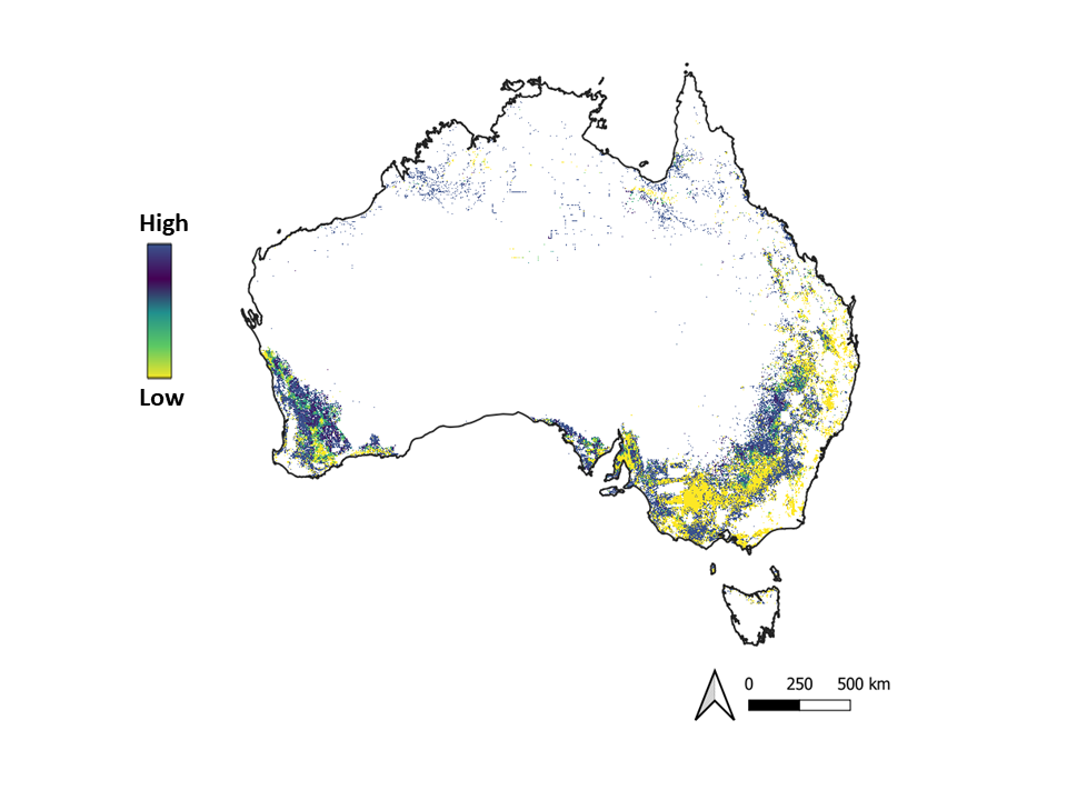
An example soil map showing potential to sequester carbon. Note that use cases are examples of potential use only.
ANSIS enables the generation of these maps by providing nationally consistent measured soil clay and SOC site data, which is used by a mapping expert to generate national maps of these two input layers. Without these layers, process-based modelling cannot be undertaken.
How the soil information product could be used
The national map identifies which soils offer the greatest potential to sequester carbon if land management practices are changed. Importantly, the map identifies which soils are the most vulnerable to SOC decline without interventions. Policy could then be designed accordingly.
This is just one example of how ANSIS could support the development of soil information products required for policy and planning. Other examples may include development of drought resilience soil maps, contribution to international reporting, national maps of soil constraints, and national maps of soil degradation threats.
Supporting national soil policy: Example narrative